Planning
Route 66 alignments explained: which Route 66?
People are often surprised that there is no single Route 66. Over its 59 years the road was straightened, widened and moved many times, and the old versions are often still there, side by side.
Route 66 was created in 1926 by linking existing roads, many of them unpaved, between Chicago and Los Angeles. It was fully paved only in 1938, and from then until it was removed from the federal highway system in 1985 it kept changing. Every time engineers cut off a curve or bypassed a town, they left the old piece behind. Road people call each version an alignment.
The big one: the Santa Fe loop
The most famous change is in New Mexico. Until 1937 the road swung north from Santa Rosa through Romeroville, Pecos and Santa Fe, then dropped down the steep La Bajada hill to Albuquerque. In 1937 a new alignment cut straight west from Santa Rosa through Moriarty, saving more than 100 miles. Santa Fe has been off the main road ever since.
We drive the loop on several trips, because it is beautiful and because Santa Fe is worth a night. The section trip and the convertible trip both use it. The full route coach trip does too, then returns along the later road west of Albuquerque.
Brick, concrete and the Ribbon Road
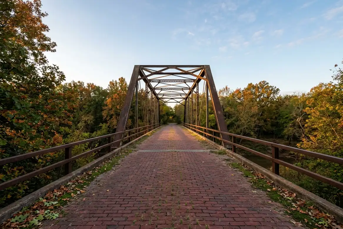
Some early alignments survive as curiosities. Near Auburn, Illinois, about 1.4 miles of red brick road from 1931 is still drivable, slowly. Between Miami and Afton in Oklahoma, the 1922 Ribbon Road is a single lane of concrete only 9 feet wide with curbs on both sides, built before 66 existed and used by it until 1937. It is rough, and we drive part of it at walking speed.
Do not chase every alignment. Pick the one that goes through the towns you want to see.
Route 66 through Tulsa and other cities
In cities the road moved from street to street. In Tulsa, 66 first ran along 11th Street, which is where our office is. In Oklahoma City, St. Louis and Albuquerque there are several routes through town. Historic signs usually mark the best-known one, and that is the one we follow.
Where Route 66 lies under I-40
Roughly 85 percent of the old road is still drivable. Most of the rest lies under or beside Interstate 40 in Texas, New Mexico and Arizona, or was cut by reservoirs and military land. In those places we use the interstate between towns and leave at every exit where the old road reappears, such as through McLean, Texas, and across the long empty stretch from Seligman to Kingman, Arizona, which is the longest unbroken piece of 66 left.
How to follow the old alignments yourself
- Brown Historic Route 66 signs mark the main alignment in most states, but not every turn.
- Paper guidebooks with turn-by-turn directions are still more reliable than phone maps, which push you onto the interstate.
- Do not chase every alignment. Pick the one that goes through the towns you want to see.
On our trips the road captain makes these choices, and tells you on the morning briefing which version of 66 you will be on that day.
Photo: Neon Motel Road. All photo credits.